Vermont Zoning Atlas

About the Vermont Zoning Atlas

A community-built, open-source project documenting zoning regulations across all 255 Vermont towns

How We Built the Atlas

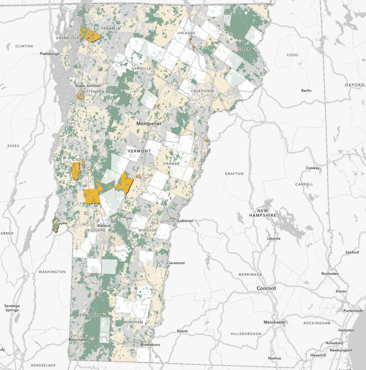
Creating a comprehensive statewide zoning atlas requires meticulous work. Throughout 2023-2024, zoning bylaws and maps from across Vermont were collected, interpreted, and synthesized into a unified database cataloging all 1,755 zoning districts.

Data Collection Process

1

GIS Mapping

Collected GIS files from all 11 Regional Planning Commissions covering their member municipalities

2

Bylaw Review

Read and coded zoning regulations for each district, documenting housing allowances and dimensional requirements

3

Database Creation

Synthesized regulations into standardized fields suitable for analysis and mapping

4

Verification

Cross-checked data with RPCs and municipal officials for accuracy

What's Included: For each district, the atlas documents whether 1-family through 4+-family housing is permitted, requires a public hearing (conditional use), or is prohibited. Additional fields capture minimum lot sizes, setbacks, accessory dwelling unit rules, affordable and elderly housing provisions, and other key regulations.

Data Sources: GIS shapefiles provided by Vermont's 11 Regional Planning Commissions; municipal zoning bylaws accessed through town websites, clerks' offices, and RPC archives; Vermont State Statute Title 24 provisions.

Data Transparency: This is a community-built, open-source dataset. All data and methodology are available on our GitHub repository. We welcome corrections and updates from municipal officials and community members.

The Start of the Zoning Atlas

Inspired by Sara Bronin's keynote speech at the 2022 Vermont Statewide Housing Conference, University of Vermont students Yoshi Bird and Michael Arnold approached the state and other partners about creating a dataset that could visualize geospatial distributions of land use regulations across Vermont down to the individual district level.

Emily Sun, a planner from New York City and Middlebury graduate, volunteered as the founding Zoning Analyst Team Lead, supported by Dr. William Hegman of Middlebury College, while Colin Dowey, former of the Agency of Commerce and Community Development, acted as the consulting Geospatial Lead.

VCGI Map Screenshot

Timeline

Expanded Partnerships

In the Spring of 2024, thanks to an anonymous donation, Yoshi Bird was able to collaborate with Kendall Fortney of the Vermont Open Source Research Office (VERSO) @ University of Vermont in hiring undergraduate student interns through the Open Research Community Accelerator (ORCA) program.

The Open Research Community Accelerator is a student program that grows the impact of academic research by making research products accessible to other academics, local businesses, and community members through open source project. ORCA creates these products through student project teams called Pods — groups of dynamic and passionate students who learn industry open source practices by working on real projects destined for public use.

These teams were in conjunction with work by Catherine Dimitruk of the Northwest Regional Planning Commission, and Leslie Black-Plumeau of the Vermont Housing Finance Agency.

Student Teams

Spring ORCA Pod 2024

  • Zoe Sreden (Team Lead)
  • Anoushka Pschorr
  • Emma Eash
  • Tucker Schulz
  • Zachary Winigrad

Summer 2024

  • Zachary Winigrad (Team Lead)
  • Tucker Schulz
  • Aleah Young

Fall 2024

  • Zachary Winigrad (Team Lead)
  • Aleah Young
  • Matthew Premysler

Spring 2025

  • Zachary Winigrad (Team Lead)

Outreach & Presentations

Initial Completion and Transfer

In August 2024, the project officially transferred ownership to VERSO and the University of Vermont's Open Source Programs Office under the leadership of Director Kendall Fortney, which will continue to coordinate the ongoing collection of a custom data subset in partnership with the Regional Planning Commissions, Town Planners, the Agency of Commerce and Community Development, and the Vermont Center for Geographic Information.

Additional projects, like this site, will be created to explore the Vermont Zoning Atlas data and its implications for Vermont's future along with other datasets.

Funding

This project was made possible with significant funding for student interns provided by the University of Vermont Geography and Geosciences Department, Gund Fund for the Environment, the College of Arts & Sciences Fellowship program and an anonymous donation which supported the UVM ORCA Student internship teams for over a year.

Partnerships

The project is in collaboration with the following:

Contributors

This list is far from comprehensive, but it includes in no particular order:

Ben Cooley, Kendall Fortney, Zoe Sreden, Anoushka Pschorr, Emma Eash, Tucker Schulz, Zachary Winigrad, Matthew Premysler, Yoshi Bird, Michael Arnold, Colin Dowey, Bill Hegman, Emily Sun, Sean Rogers, Jack Reed, Amy Siu, Magali Stowell Aleman, Erik Weis, John Zimmerman, Olivia Ting, Megan Sutor, Emma Spett, Chris Donovan, Patrick Payne, Sam Powers, William Borley, Halimeh Abuayyash, Joy Emmanuel, Frederick Senya, Dakota Walker, Tin Skoric, Leslie Black-Plumeau, John Adams and many more!